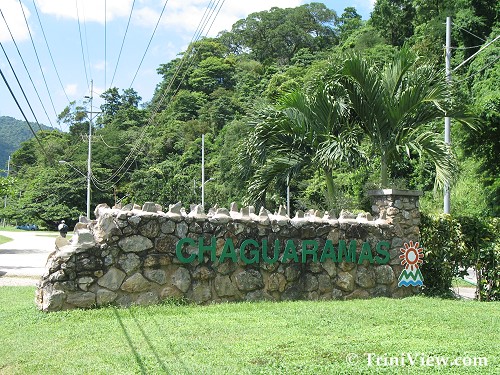
 Western Main Road, Chaguaramas
Pages: 01 | 02 | 03 | 04 | 05 | 06 | 07
An Undergraduate Thesis
Written By Boswell John
University of the West Indies
St. Augustine 1998
Abstract
Strategically located on the Northwest peninsular of Trinidad, Chaguaramas has played a significant role in the annals of Trinidad history. This report is a study of the Changing Patterns of Land use in the Chaguaramas area and examines the purpose for which the land was originally used, and continues to explore its intended use for the future.
As we proceed, the names of some of the original landowners are identified, and the contentious issue of the establishment of the American Naval Base is examined.
Documents lodged at the National Archives, Lands and Surveys Department, and the Chaguaramas Development Authority were resourced.
The outcoming viewpoint is that the national interest is not being adequately served by the present and planned future use of this large expensive and valuable real estate.
Introduction
Chaguaramas and its neighbouring islands occupy the northwest peninsula of Trinidad, which is west of a line from Point Sinet in the south, to Corazal Point in the North. The mainland area of Chaguaramas comprises 12,050 acres and the island 2,750 acres.
The name 'Chaguaramas' is of Amerindian origin and refers to the Palmiste trees, which lined the shore. Originally only one bay was called Chaguaramas, but eventually the name was given to the whole area. The first reference to it in history occurred on September 14, 1796 when the Spanish Admiral Don Sebastian Ruiz de Apadoca sailed through the Grand Boca between Trinidad's Northwestern extremity and Venezuela, and anchored off Port-of-Spain.
The Spanish Governor Don Jose Maria Chacon believed hostilities with the English were imminent and urged Apadoca to stay on in Trinidad, and suggested he make use of the sheltered harbour at Chaguaramas Bay on the South facing coast of Trinidad's Northwest peninsula in the Gulf of Paria. Apadoca compiled and set about building fortifications at Chaguaramas and on the island of Gasparee.
On February 17, 1797, 18 English ships entered the Gulf and anchored at Chaguramas. On February 18, Apadoca ordered that his ships be set on fire. Early on the morning of February 19, the English troops waded ashore at Mucurapo with little resistance. After the Cedula of 1783 which allowed Catholics of any nationality to settle in Spanish Trinidad, hundreds of French speaking immigrants - white and coloured - had come to Trinidad from other Caribbean islands with their slaves. Some established plantations, and a few of them were in the secluded Chaguaramas peninsula and the islands of the Bocas: Gasparee, Monos, Huevos and Chacachacare. In 1891, the ward of Chaguaramas was absorbed into the ward of Diego Martin.
Continue...
Pages: 01 | 02 | 03 | 04 | 05 | 06 | 07
Carenage and Chaguaramas in pictures:
www.triniview.com/gallery/main.php?g2_itemId=89353
Carenage and Chaguaramas | Homepage | Photo Gallery
|